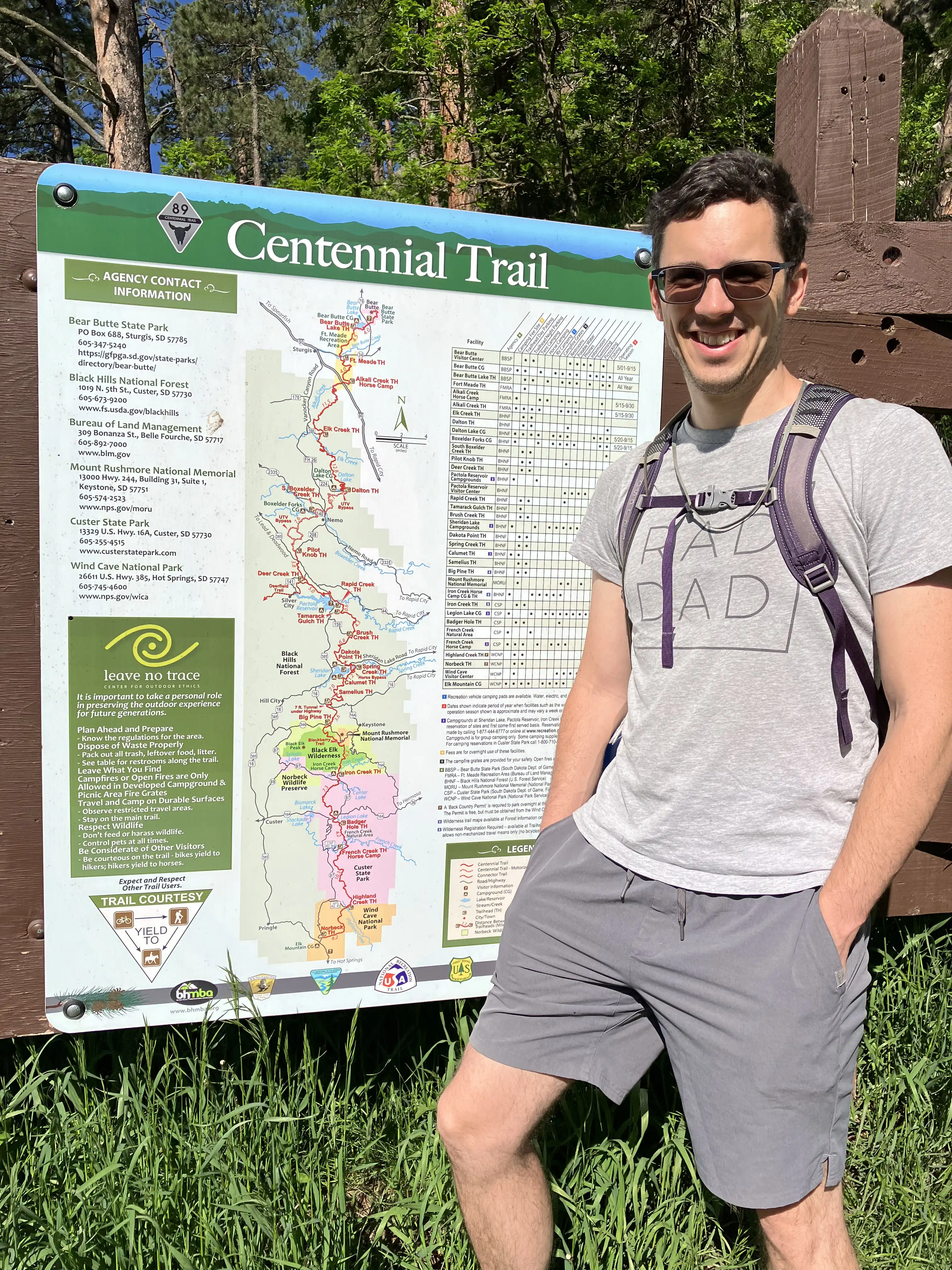
Centennial Trail
This is a personal journal of my hikes along the South Dakota Centennial Trail, but it may also serve as a growing resource for the trail, especially GPS coordinates.
Episode #1 - Just Getting Started
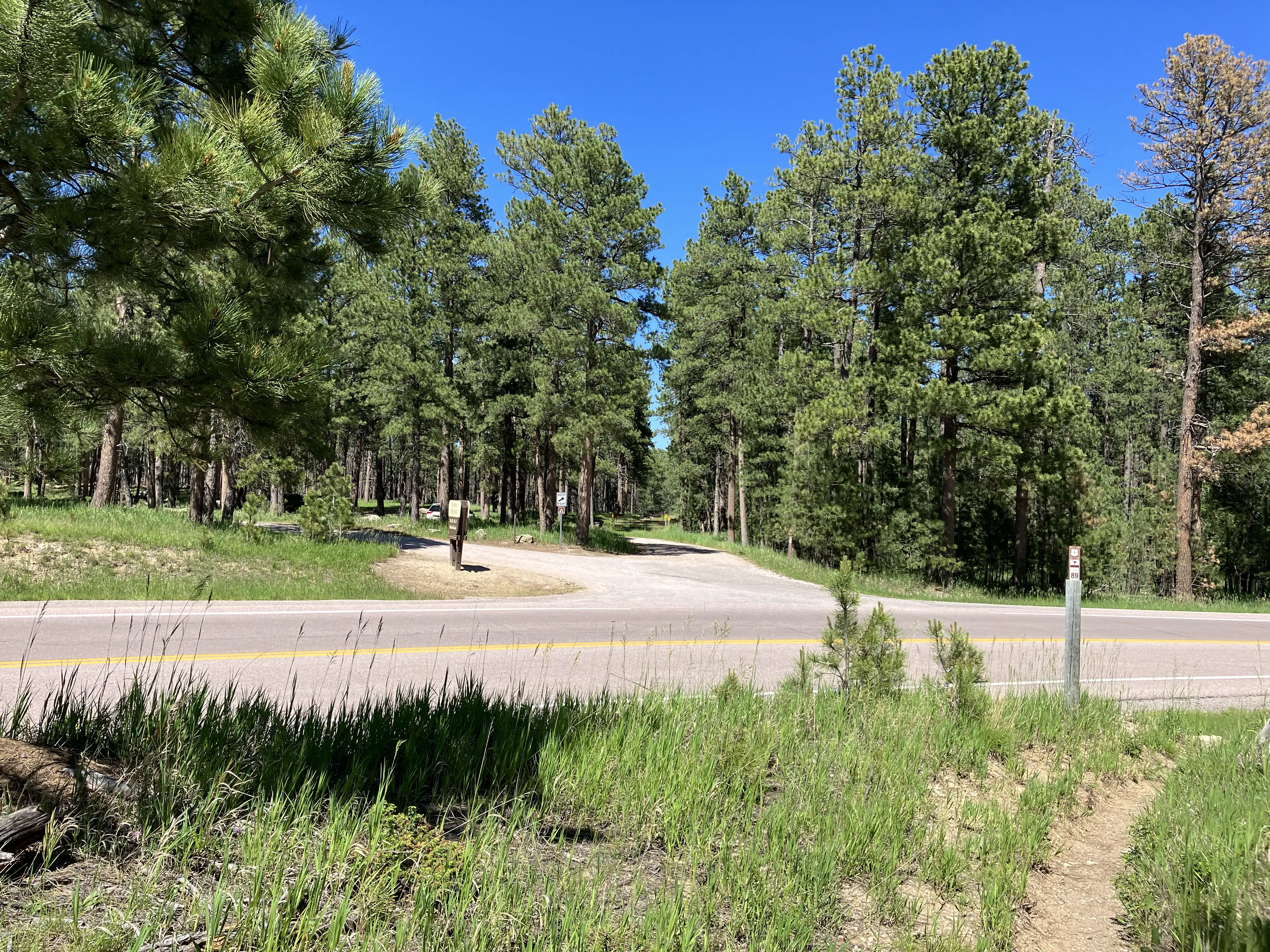
Amie, Graham and Royal drove me to the start of my first leg of the Centennial Trail and went a little ways down the path. We said our goodbyes (the boys stayed for a while to splash in the creek) and I headed for where I estimated I would run into the official trail, near Sheridan Lake.
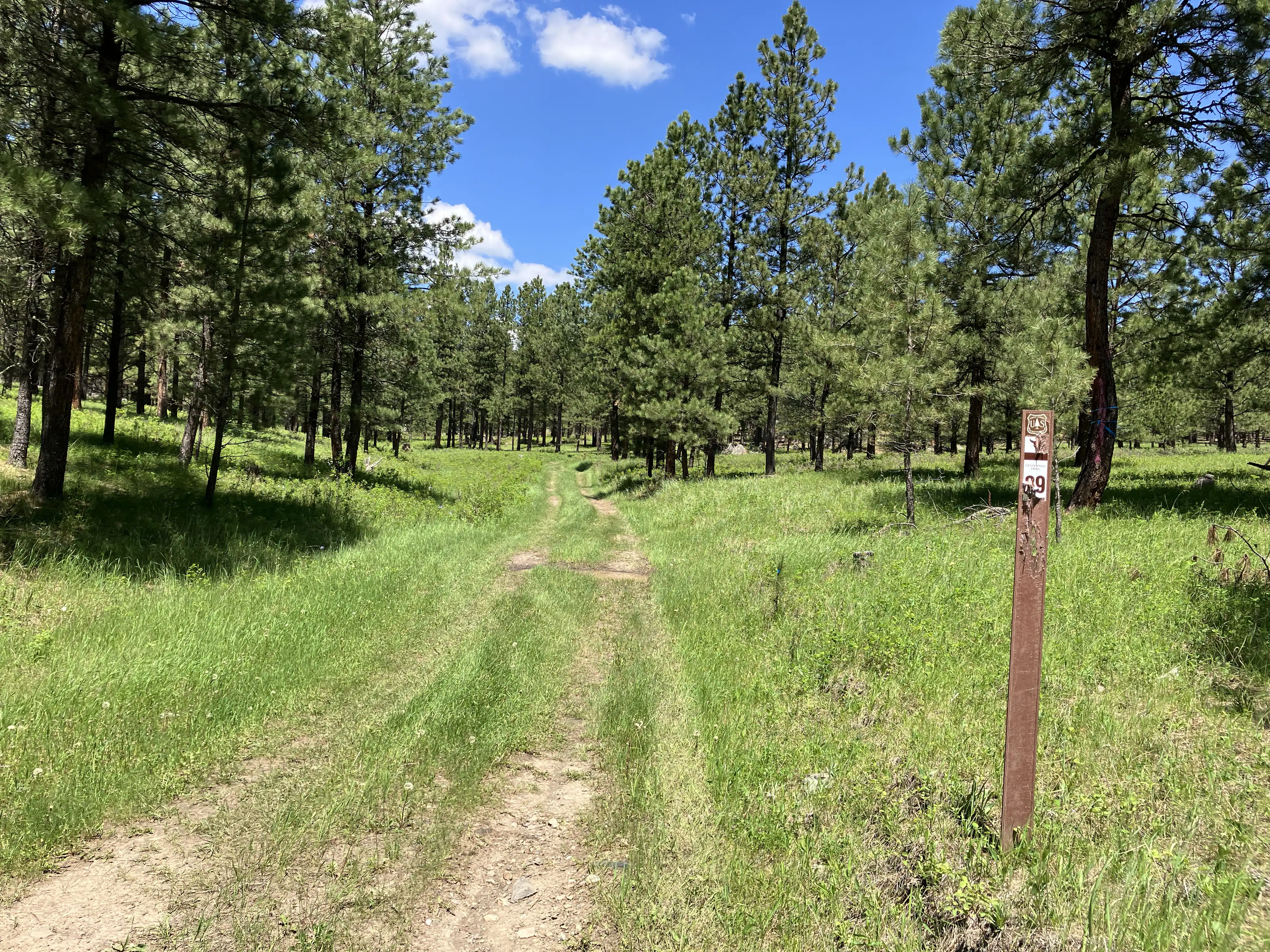
I discovered the first Centennial Trail blazon just after passing Sheridan Lake. My estimate was correct! I marched up the ravine and came to a three-way intersection, where I made a crucial mistake.
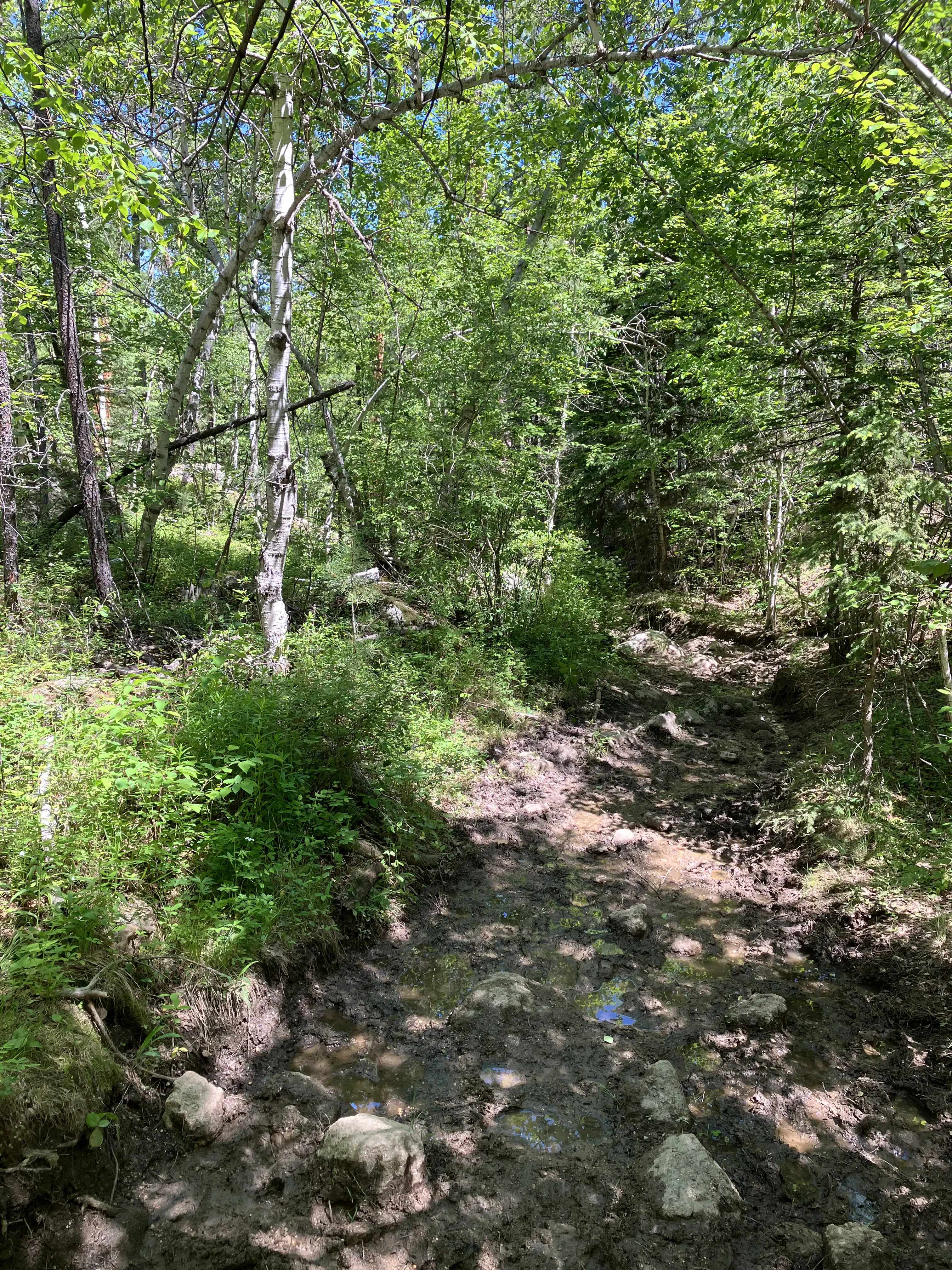
It turns out that the Centennial Trail is sometimes marked from both north and south directions. This wouldn’t be a huge problem except that a horse bypass near Sheridan Lake has the same markings as the core trail except for the addition a picture of a horse, causing the trail to form a circle. What?! I did not realize the horse picture mattered and walked the wrong way all the way back to where I started. I lost nearly two hours hiking back down to where I started, then hiking right back up.
Though I began with a two-hour delay, a concrete walking tunnel supplied a cool place to cook lunch and dry out my socks.
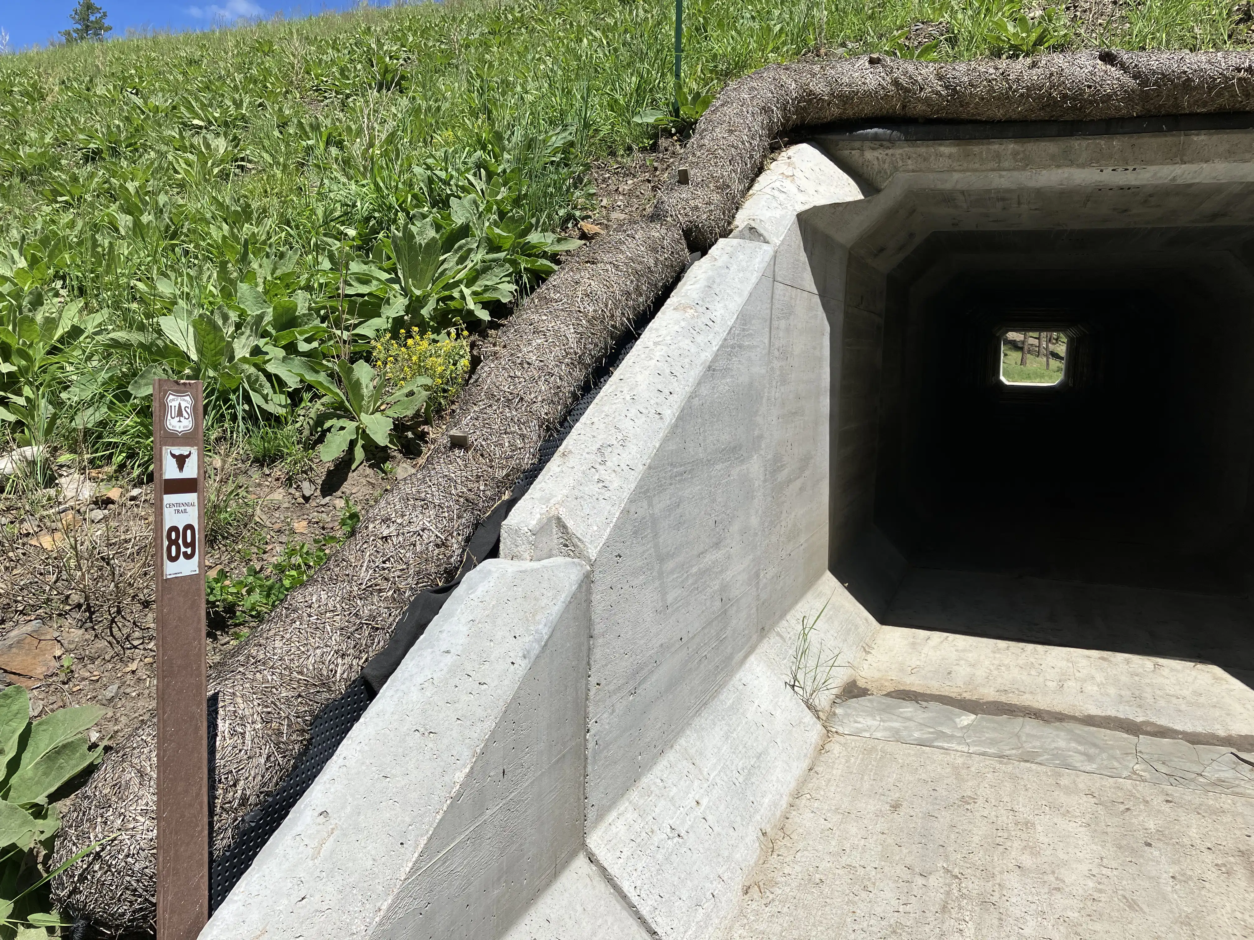
There was another benefit to eating lunch near the tunnel; after a half-hour the trail merges with an ATV track with a mild uphill grade and no shade. I was grateful when to finally make it back into the trees an hour later.
When I stopped a little past 1:00 I tried to give up the hike and go home. I was hot from climbing without shade and dreading what was coming next - the Bald Hills. Sounds hot, doesn’t it? I pulled out my map and found a nearby road and messaged Amie to pick me up there. But I had no cell reception and the message never sent. Guess I’m pressing on.
After winding through trees and meadows for a while I passed a suprisingly clean animal drinking trough. I kept climbing for a little while and rested below a tree at 2:00. I realized that my water was low, so I put everything down and walked back to the water trough for a refill. On this trip I didn’t need it, but it’s not wise to hike without water for any distance.
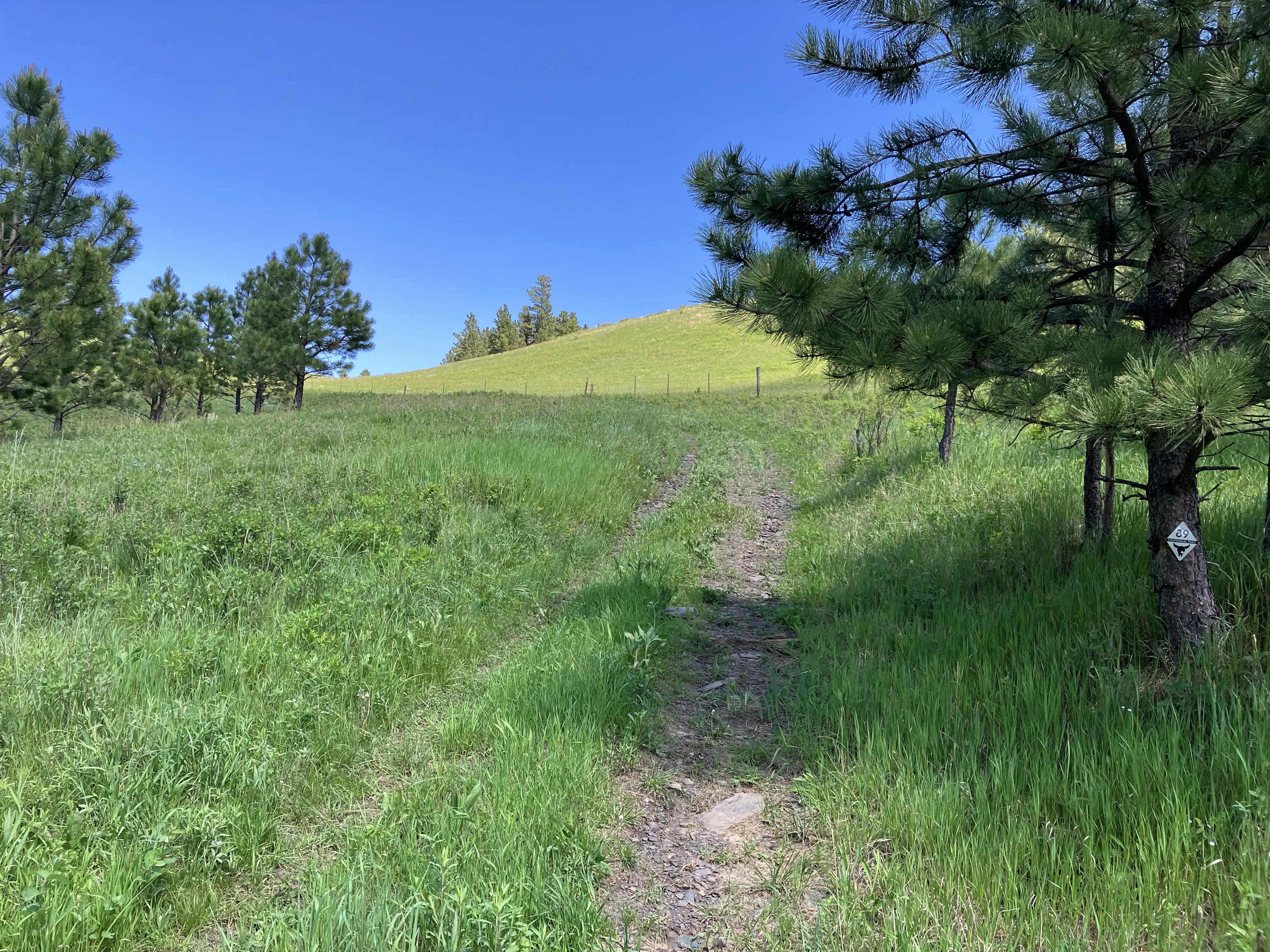
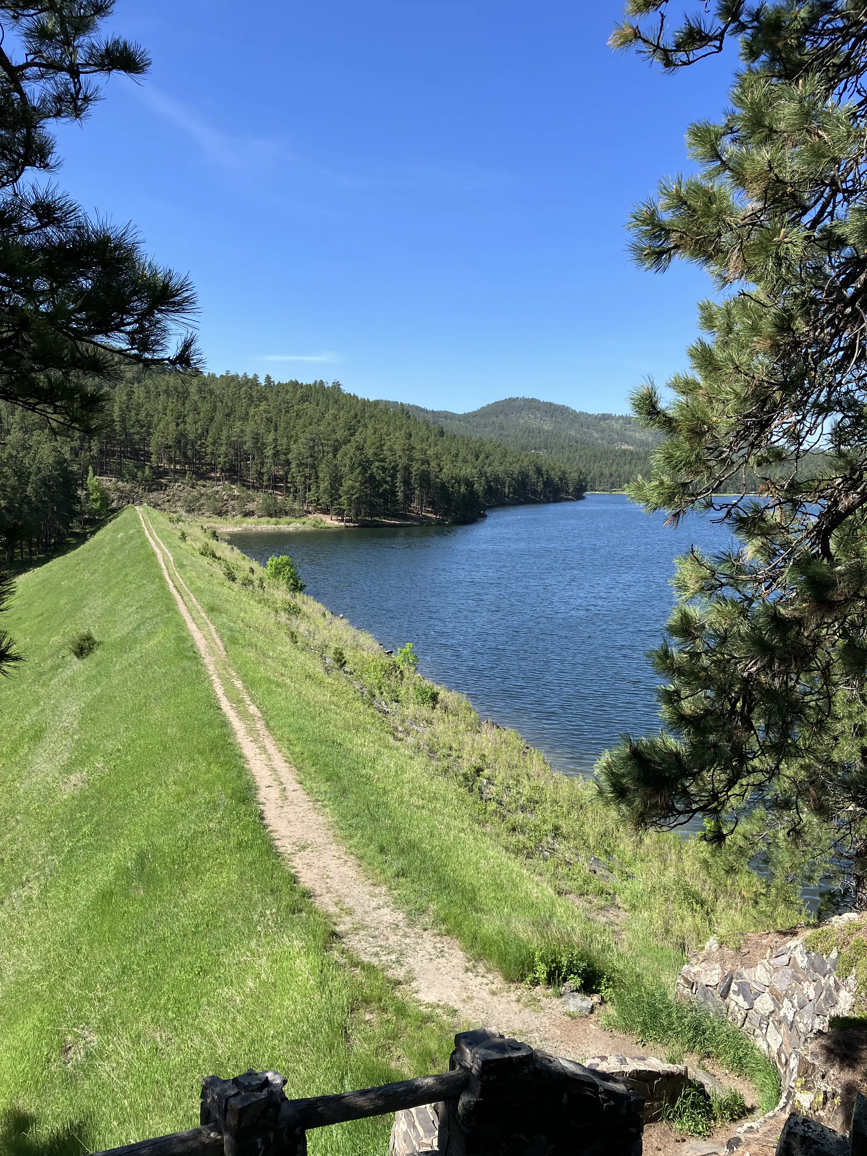
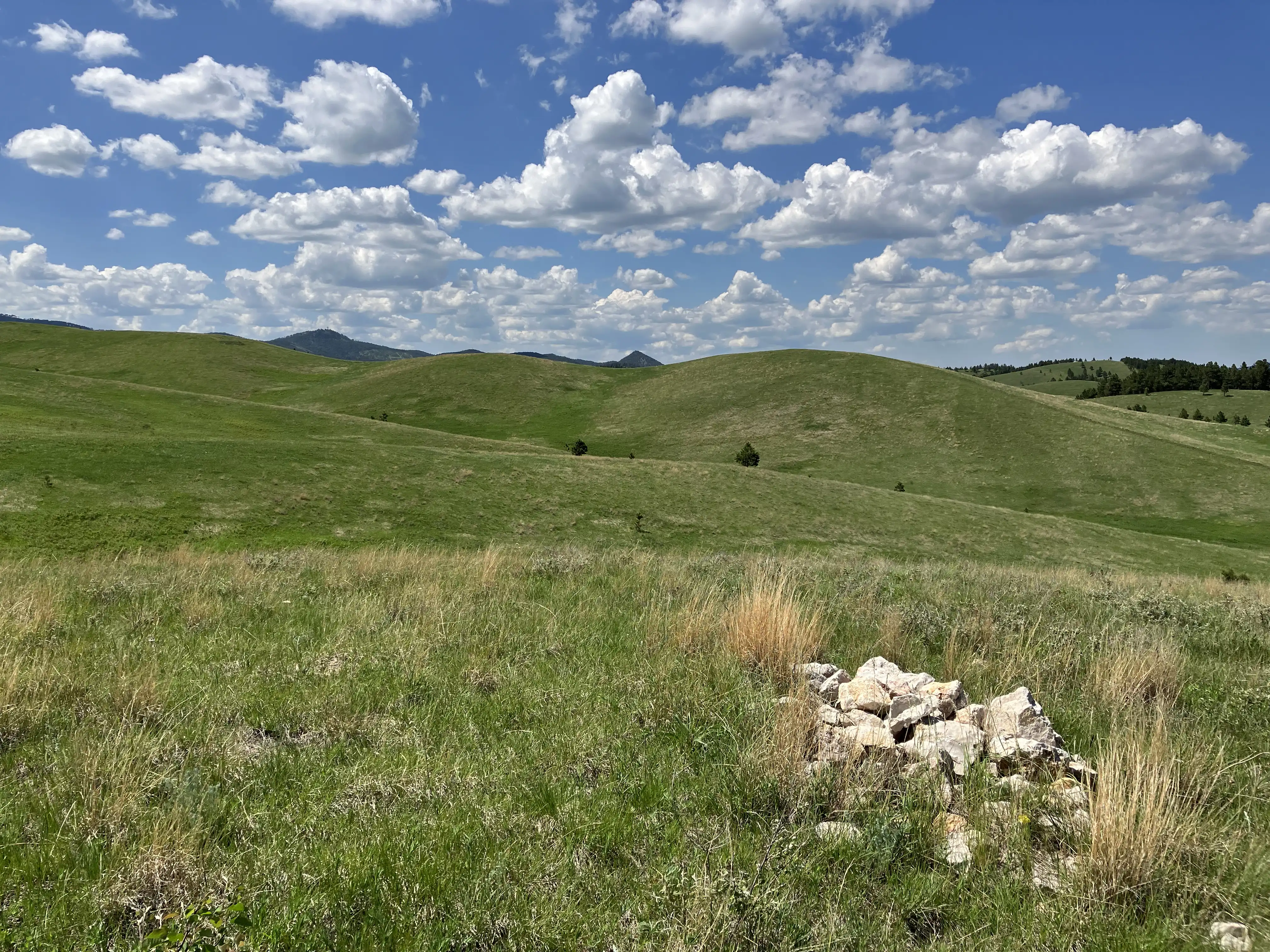
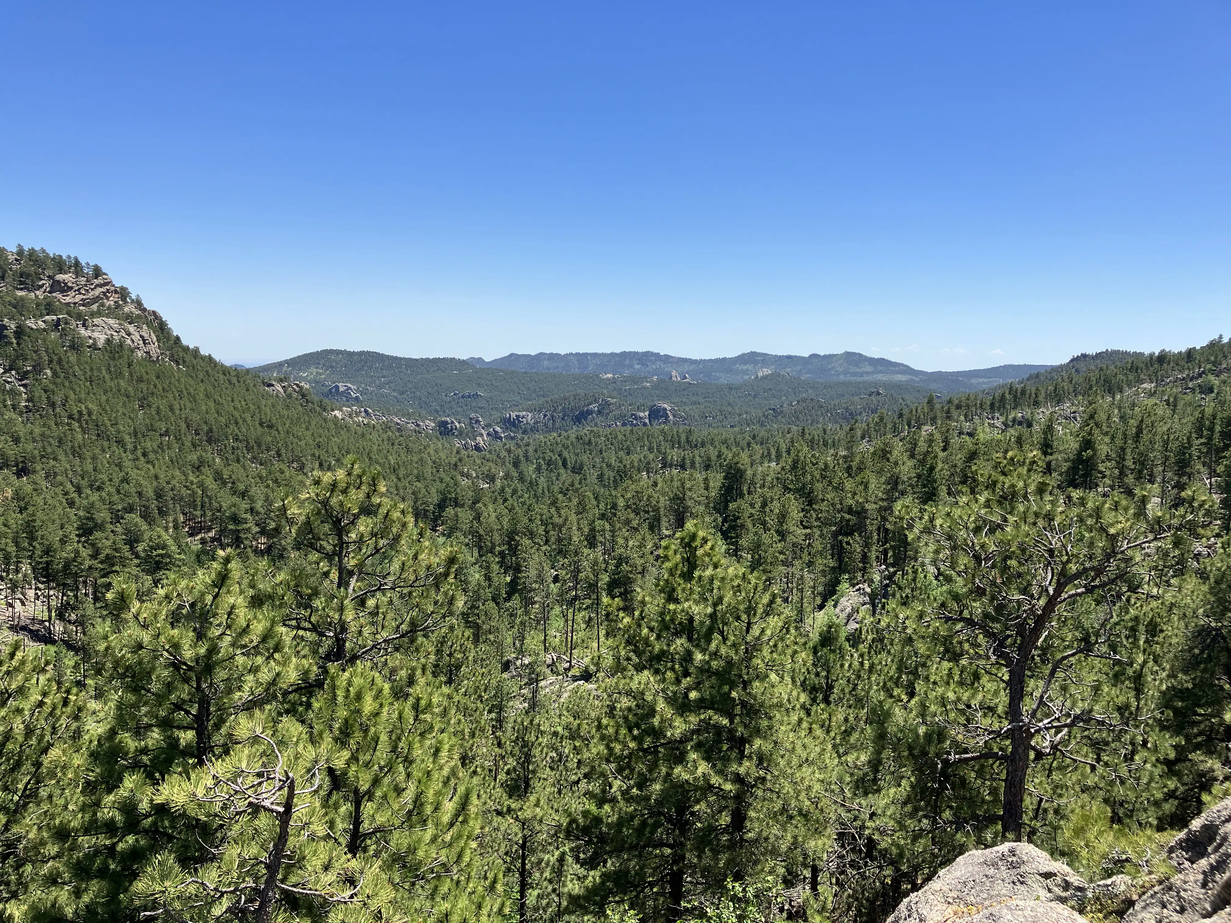
My dread of the Bald Hills was unfounded. There’s a refreshingly strong breeze that sweeps over the hills which makes it comfortable as walking in shade. And the view is stunning.
I managed cell reception at the top of one of the hills and called Amie. I had given her two pickup locations - Pactola Resevoir if everything went according to plan and Brush Creek Trailhead if it didn’t. I let her know I’d meet her at Brush Creek.
I’d been careful to stop regularly to swap out wool socks and had kept my blister count small, but my time was running short to meet Amie at Brush Creek by 4:00. So I did pressed through with fewer stops and arrived a few minutes before.
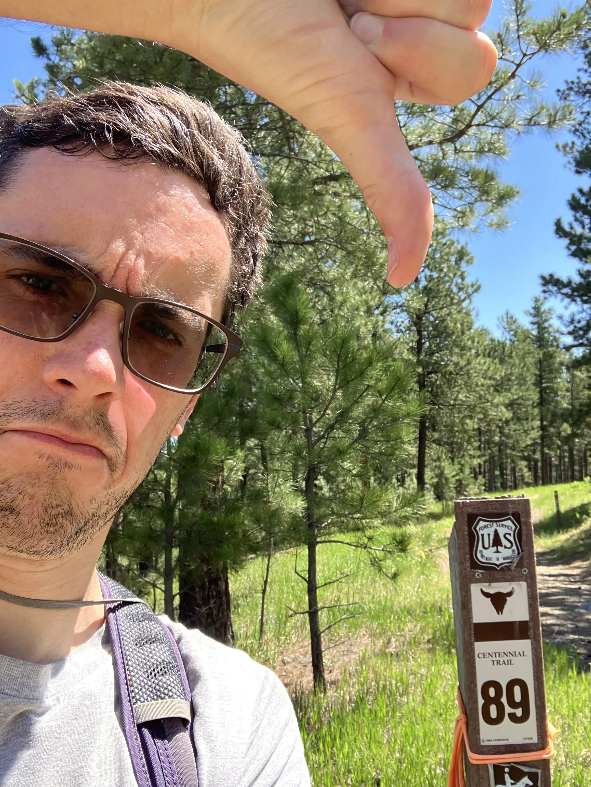
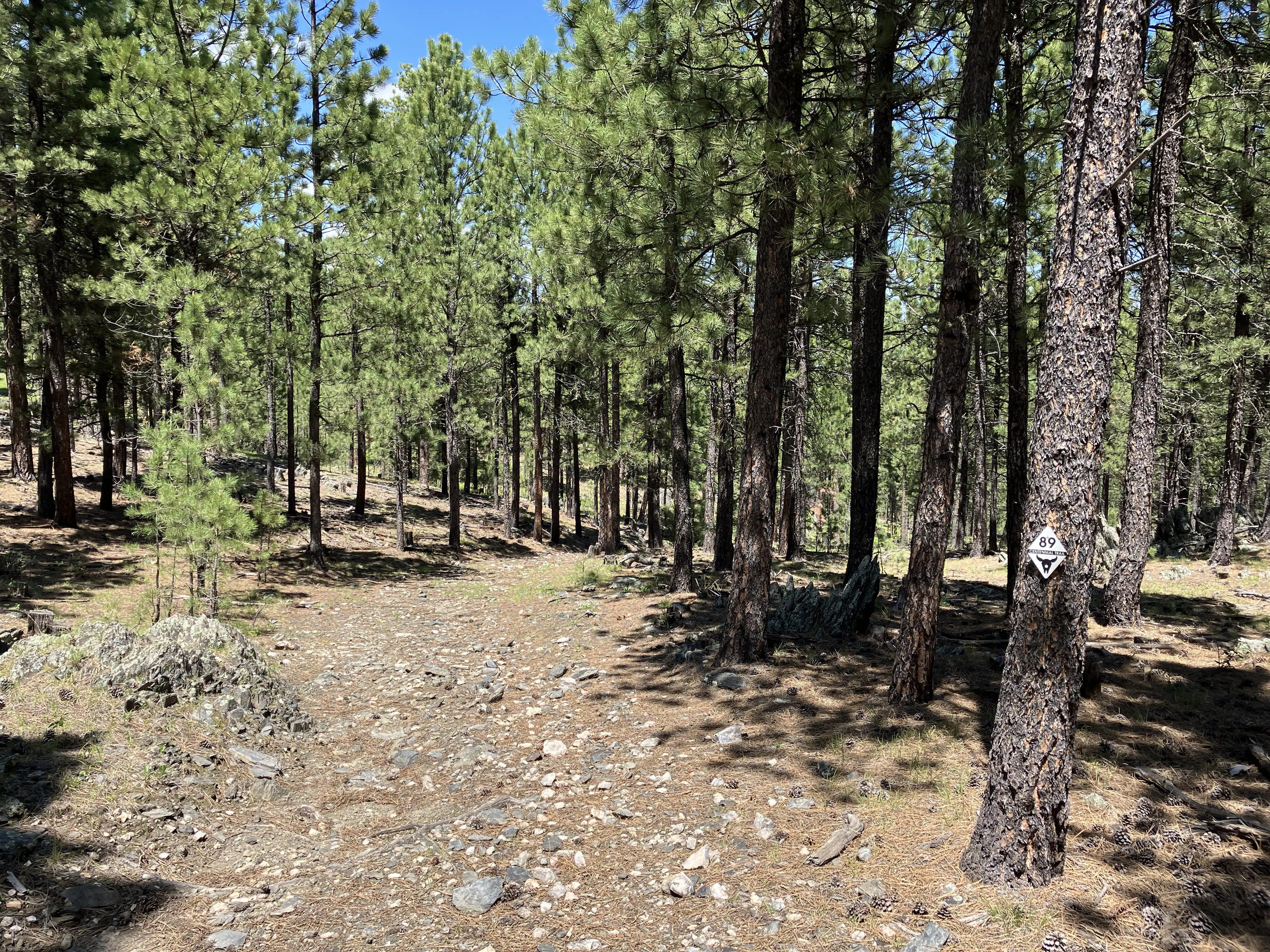
I snapped photos of most of the trail blazons from which I assembled a highly accurate GPS map of the trail. As I conquer more of the trail I’ll pull together a single cohesive file, but for now you can download the KML file and import it to Google Earth to take a tour of my trip!
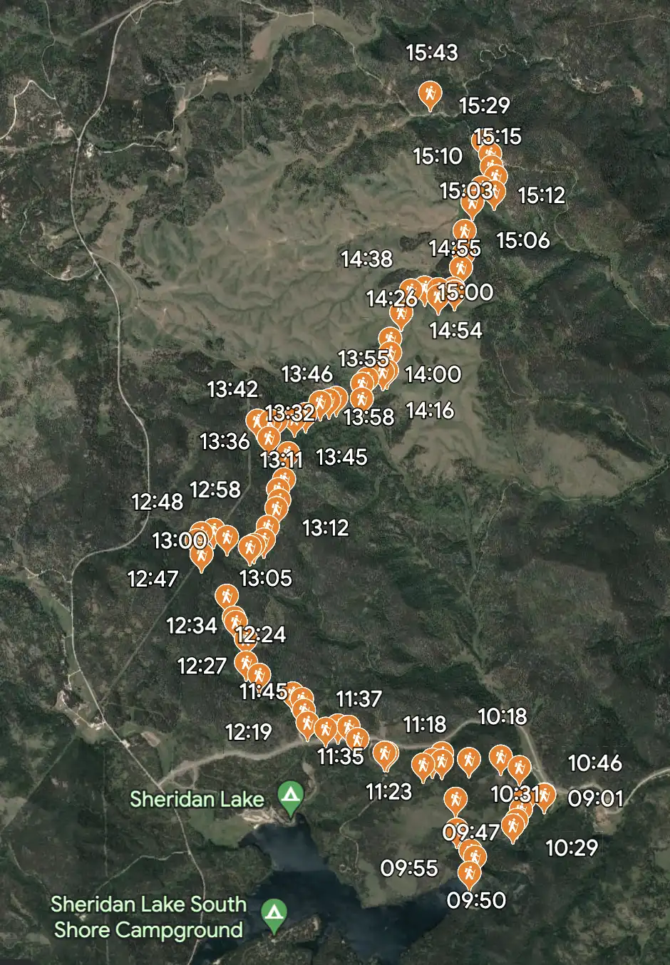
You can download the Google Earth KML file for Episode #1 here.
Episode #2 - Through the Wilderness
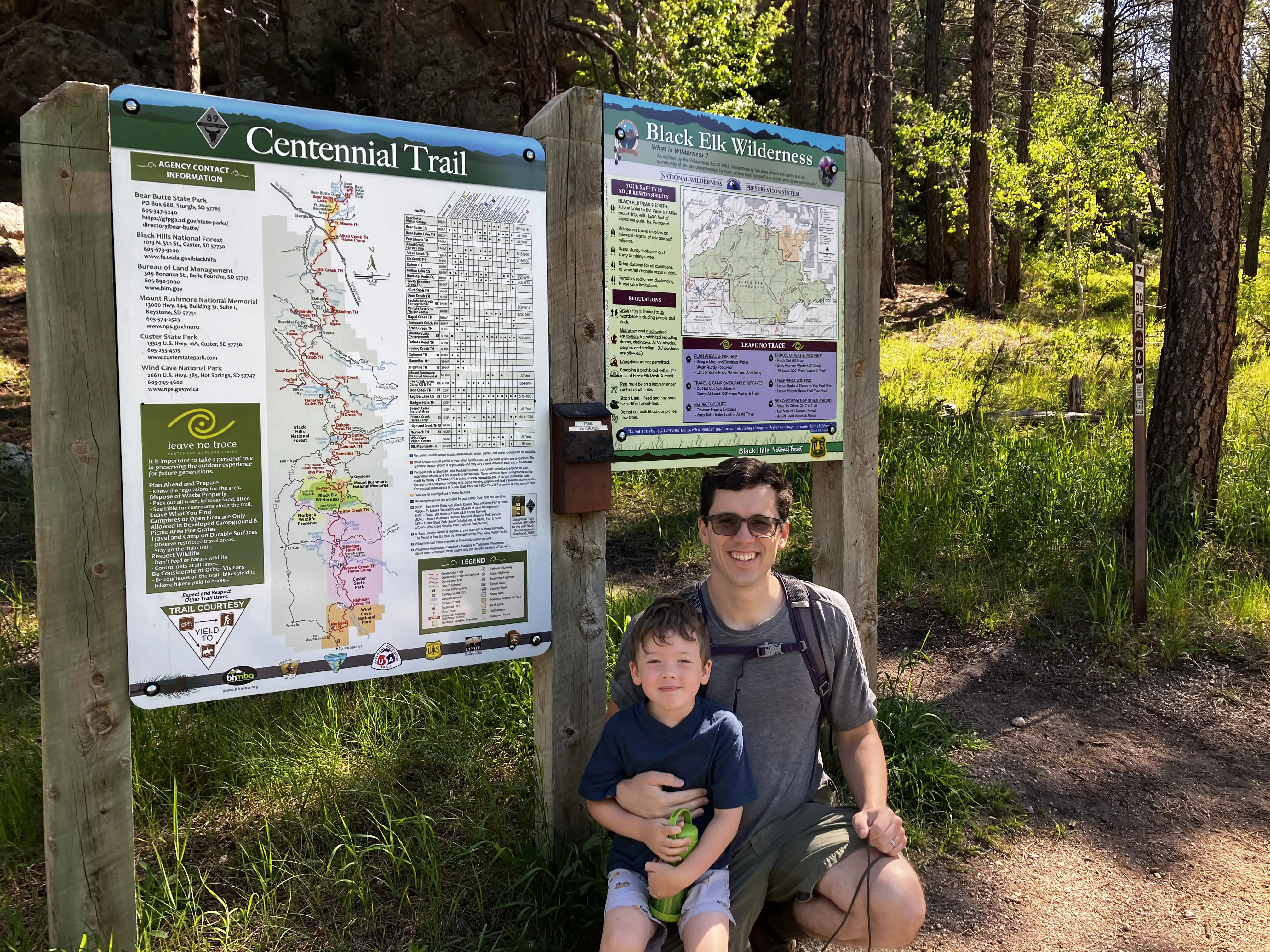
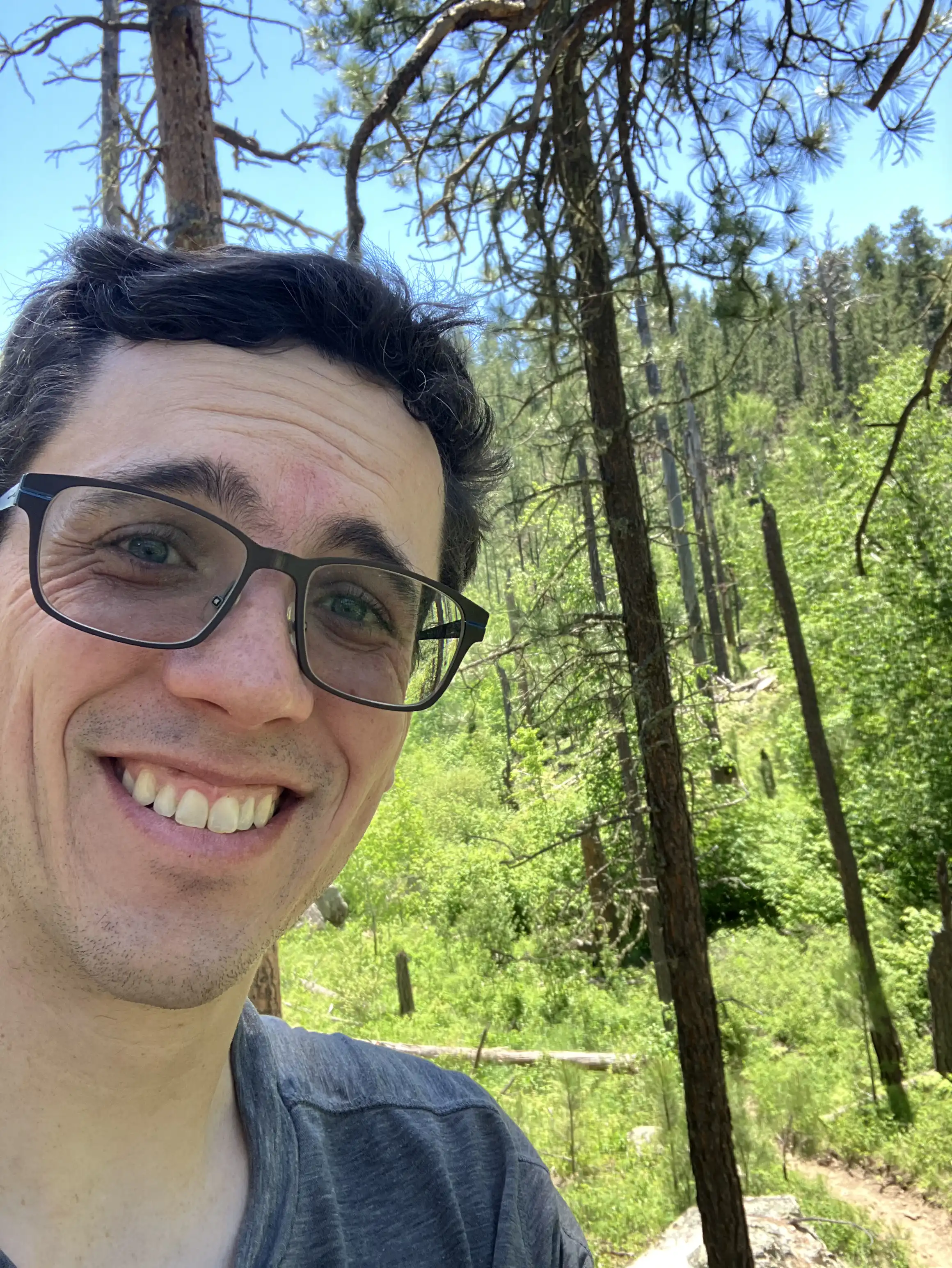
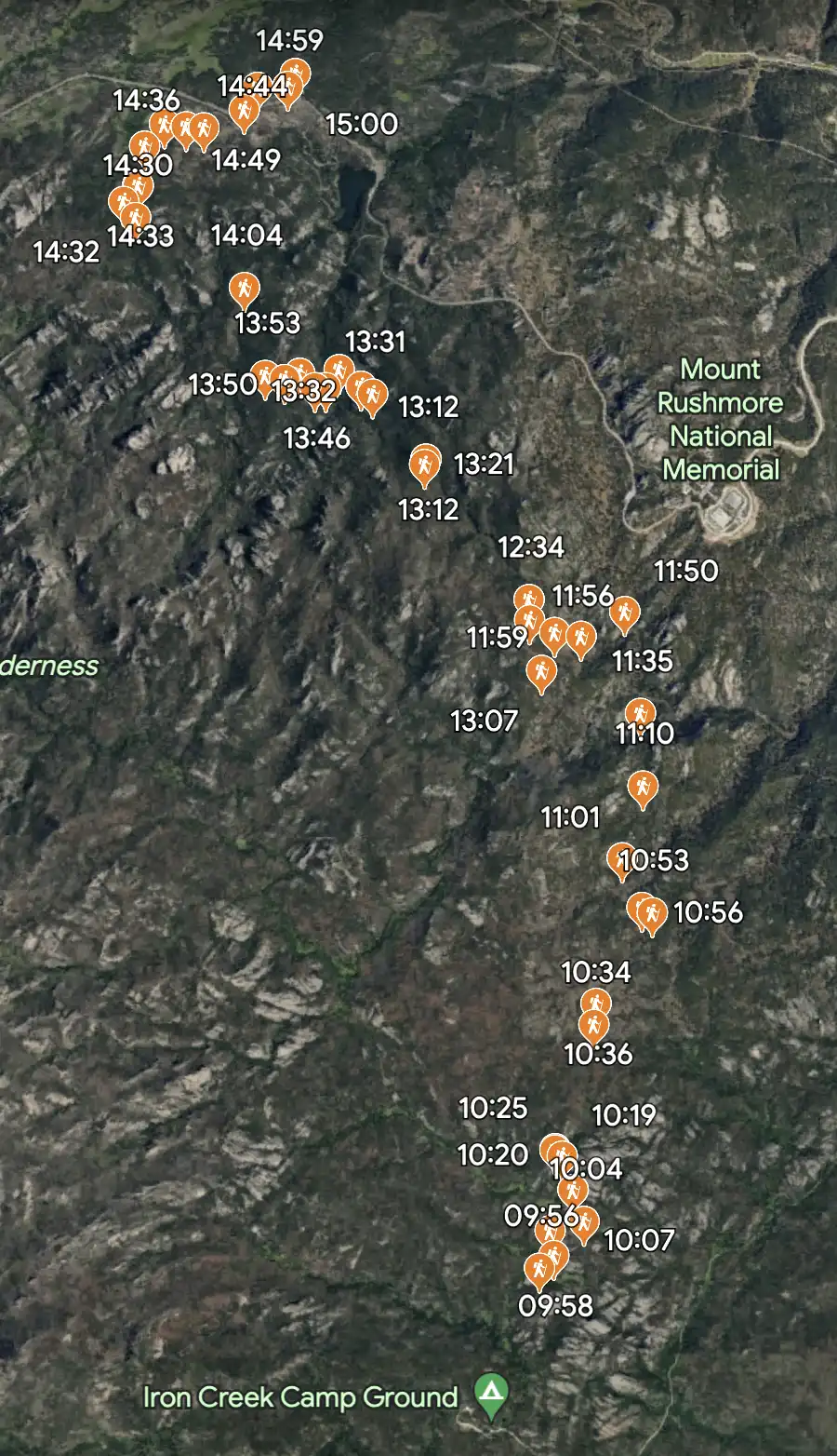
My confidence greatly bolstered by my first successful excursion, I opted to try a more arduous hike. This one travels through Black Elk Wilderness - nine miles of ups and downs through a protected zone that includes Black Elk Peak and Mount Rushmore.
As with the first hike, Amie and the boys trekked the beginning. They love hiking as much as I do and lack only stamina, not heart.
We’d seen a couple hitching up horses at the start of the trail. About an hour into the hike they overtook me while I was eating a snack and marveling at a granite outcropping. The wilderness forbids motorized travel, but horses don’t have motors.
This has been a particularly wet Spring and the trail had numerous bogs dug by horse hooves in mud. Since I carried only a day pack these treacherous points weren’t an obstacle, but I met a family with full kit. I prayed that their ankles would be protected - not fun picking your way carefully with a 50 kilo backpack.
I gave myself quite a scare when I stopped for lunch. I was hungry and more focused on the prospect of a meal than my surroundings. My unpresent mind didn’t consider that, while I was heating my food on a large rock, the rock itself was liberally sprinkled with dry pine needles which began to blacken as my camp stove heated. Shocked into action by the sight of smoke, I made it worse by attempting to move the stove to another spot. I slipped in the process and sloshed flaming ethanol onto a bed of needles, instantly creating a dozen small flames. I snatched my water bottle and doused the flames, my imagination dancing with terrifying images of perishing in a forest fire. It took over an hour before I stopped shaking. I was so humiliated that I would make such a foolish decision, as though I’ve never been outside before, and horrified that I’d nearly damaged the beauty I so enjoyed.
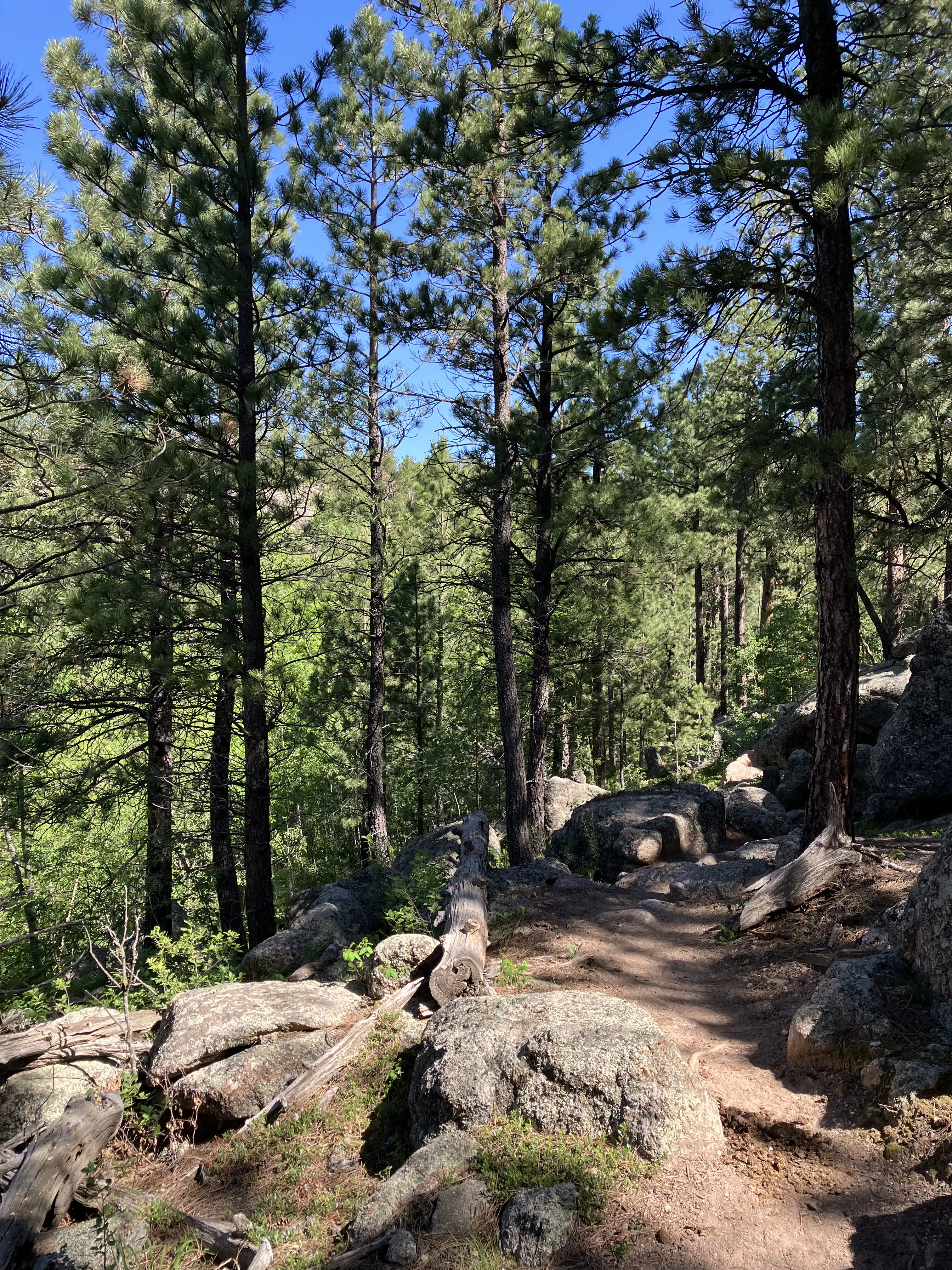
After climbing out of a ravine I encountered a rocky outlook. I had met a traveller heading in the same direction a half-hour before the fire debacle and they’d overtaken me while I ate my lunch. Now I passed them up again, joking that the tortoise beats the hare in the story.
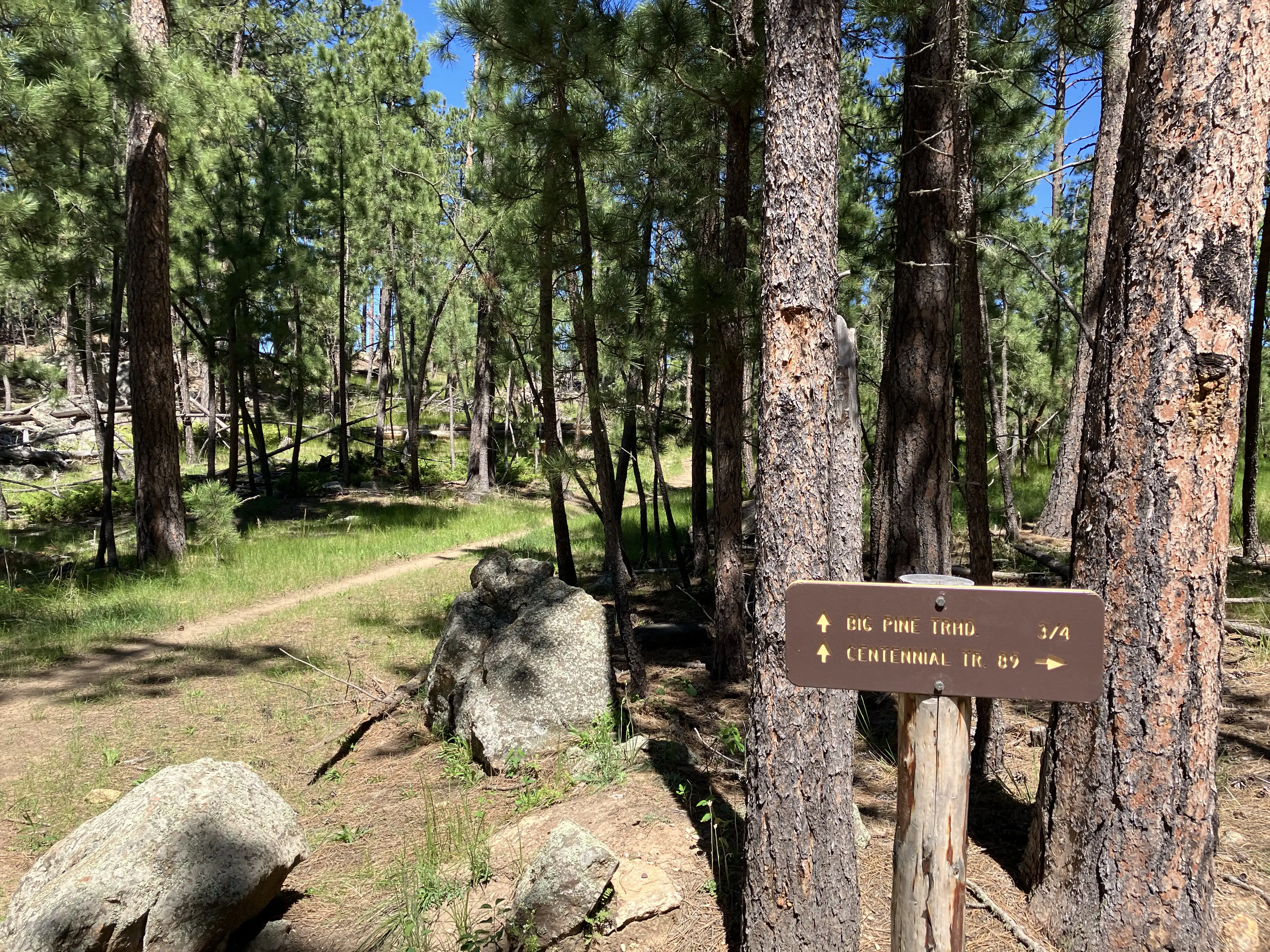
There are no Centennial Trail blazes in the Black Elk Wilderness, but when the trail crosses another the Forest Service has put up these nice signs. I was just about out of the wilderness at this point.
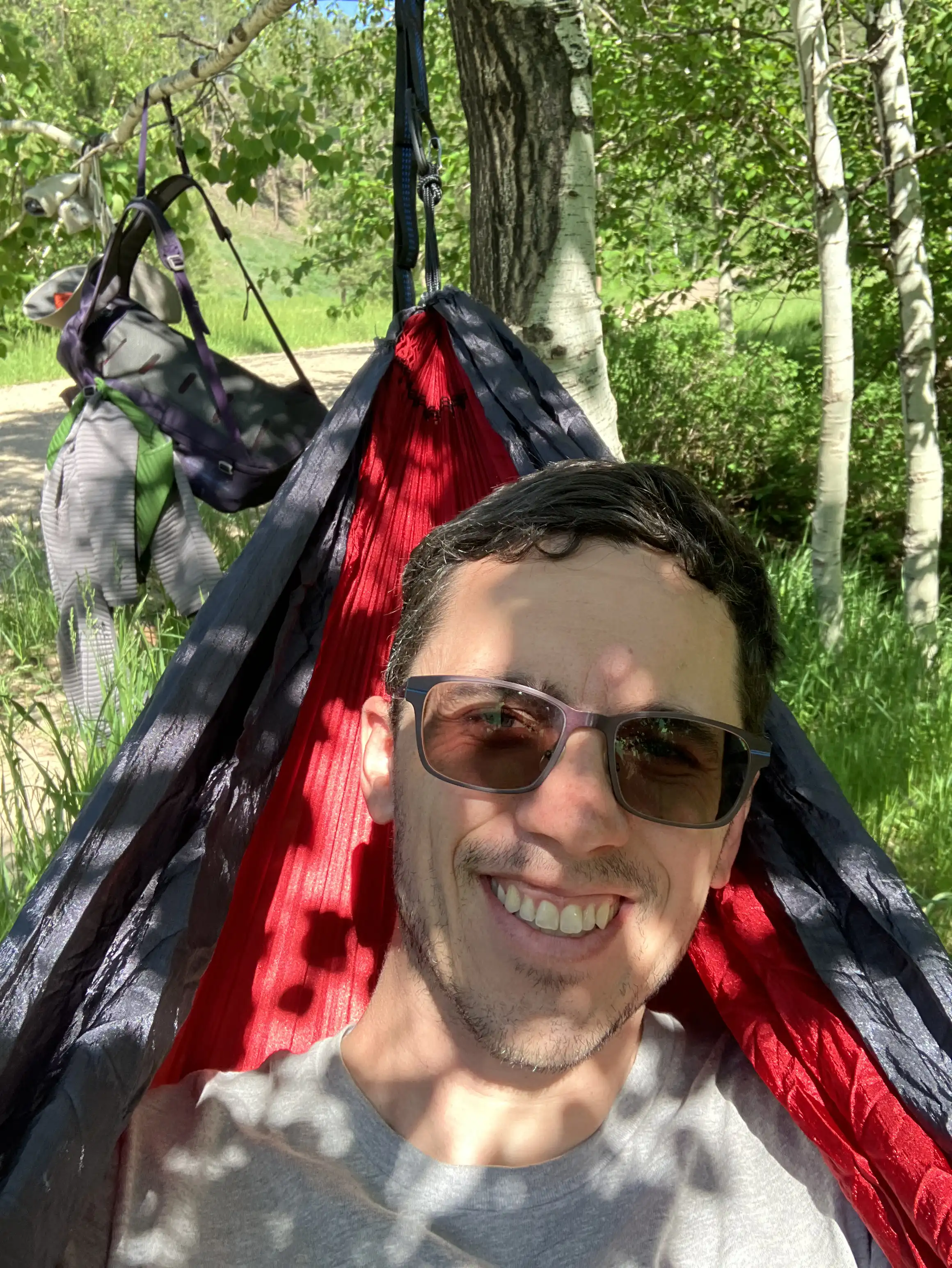
I made the mistake of calling Amie around 1:00 to let her know I was ahead of schedule and could be picked up at 3:00. I hadn’t realized how much the trail meanders around Horsethief Lake before arriving at the next trailhead. So I spent the last hour hiking on overdrive to beat Amie to the pickup. Next time I won’t forget my hammock and can just take it easy if I’m early!
ℹ️
Somehow the GPS coordinates for the first part of the hike were botched. It begins on the dirt road to Iron Creek Camp Ground but there are no pins.
You can download the Google Earth KML file for Episode #2 here.